

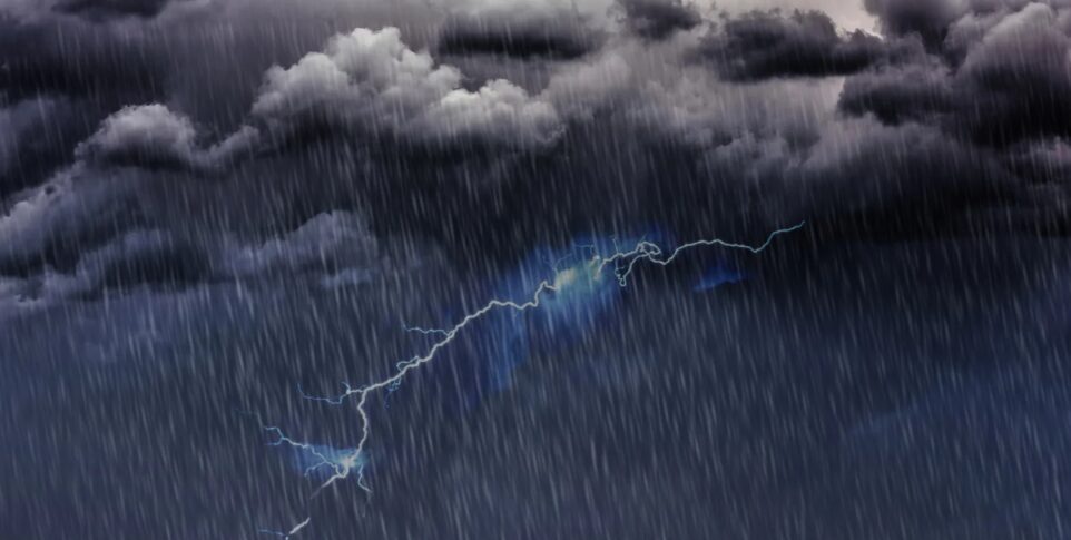

INDOMET maintains an alert for Greater Santo Domingo and San Cristóbal due to the risk of urban flooding, while Saharan dust will keep the atmosphere hazy.
Santo Domingo.– A tropical wave moving over the Mona Passage, in combination with an upper-level trough, will cause downpours, thunderstorms, and wind gusts across much of the national territory this Saturday, reported the Dominican Institute of Meteorology (INDOMET).
During the morning, isolated showers could occur in locations along the southern coast, including sectors of Greater Santo Domingo. However, it will be in the afternoon hours when rainfall activity increases, with moderate to heavy precipitation accompanied by electrical storms and wind gusts that will extend into the early hours of the night.
The provinces most likely to receive this rainfall are La Altagracia, La Romana, San Pedro de Macorís, El Seibo, Hato Mayor, Monte Plata, Sánchez Ramírez, La Vega, Monseñor Nouel, Azua, San Juan, Santiago, Valverde, Santiago Rodríguez, Elías Piña, Dajabón, Monte Cristi, Independencia, Baoruco and Greater Santo Domingo.

Given these conditions, the National Forecast Center maintains a weather alert for Greater Santo Domingo and San Cristóbal due to the risk of urban flooding over the next 24 hours.
In the National District and the municipalities of Santo Domingo Norte, Este, and Oeste, cloudiness is expected with scattered showers and isolated thunderstorms at different times of the day.
Intense heat will persist
The agency indicated that temperatures will remain high, with lows between 23 °C and 25 °C and highs between 33 °C and 35 °C, while high humidity will increase the heat index.
Likewise, the presence of Saharan dust particles will maintain a grayish sky and reduce air quality, so people with asthma or other respiratory diseases should limit prolonged exposure to the outdoors.
You may be interested in: COE issues green alert for Santo Domingo, DN and San Cristóbal due to rains

Authorities recommend staying hydrated, wearing light-colored and lightweight clothing, avoiding sun exposure between 11:00 a.m. and 5:00 p.m., staying in cool places, and reducing outdoor activities during the hottest hours, especially for children, pregnant women, and the elderly.
For this Sunday, the tropical wave will move away from the country, although the remaining moisture and the trough will continue to favor the occurrence of scattered showers and thunderstorms during the afternoon and early evening hours in provinces of the northeast, southwest, the Cibao Valley, and the Central Mountain Range.
Meanwhile, on Monday, the influence of the trough will persist, again generating downpours, thunderstorms, and isolated wind gusts during the afternoon and early evening hours, mainly in locations in the northeast, the Central Mountain Range, and the border area.