Read more: INDOMET: History and functions of the Dominican Institute of Meteorology
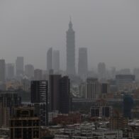
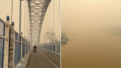
For this Tuesday, a tropical wave will be approaching the country, adding its effects to those of the trough, which will increase the chances of rain. In the morning, showers are expected in areas near the south coast, such as San Pedro de Macorís, San Cristóbal, Peravia, and Barahona. During the afternoon and into the night, downpours accompanied by thunderstorms and possible wind gusts are expected in a large part of the territory, including provinces of the Cibao and the northwest region. Indomet also warned that the thermal sensation will continue to be high due to the time of year (summer) and the presence of Saharan dust, so it recommended drinking plenty of water, avoiding direct exposure to the sun without protection, wearing light-colored clothing, and paying special attention to children and the elderly. Regarding Tropical Depression Chantal, the agency indicated that it continues to weaken as it moves over land in the United States, located about 110 km east/northeast of Danville, Virginia. Due to its location and trajectory, it does not pose a danger to the Dominican Republic. Forecast for Greater Santo Domingo: • National District: Cloudy in the afternoon with scattered showers and thunderstorms. • Santo Domingo North, East and West: Similar conditions with increased cloudiness and possible rainfall. Temperatures:• Minimums: between 21 °C and 23 °C.
• Maximums: between 33 °C and 35 °C.