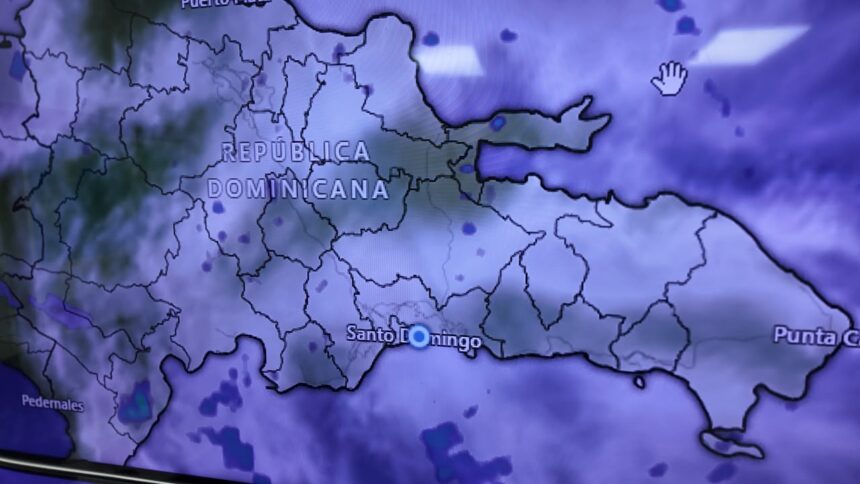
SANTO DOMINGO.– The arrival of Saharan dust to Dominican territory will cause a reduction in rainfall during this Friday and Saturday, while high temperatures will persist across much of the country, reported the Dominican Institute of Meteorology (Indomet).
The agency explained that on Thursday night, a trough and the passage of a tropical wave caused rain in some sectors of the national geography, although a hot environment without precipitation prevailed in Santo Domingo.
For the next two days, a change in the weather pattern is expected due to the arrival of Saharan dust particles, so rainfall will decrease and high temperatures will continue.
Given the hot conditions, Indomet urged the population to drink enough fluids, preferably water; wear light-colored, lightweight clothing, seek cool and ventilated places, and avoid direct sun exposure between 11:00 a.m. and 4:00 p.m. without proper precautions.
We recommend reading: Get your umbrella out and get ready for the heat! Saharan dust dominates today, but showers return tomorrow
More Read


Tropical wave will approach on Sunday
The weather pattern could change again during Sunday afternoon and evening, when the approach of a tropical wave is expected, which could generate rain over the Dominican Republic.
Indomet is also maintaining surveillance over two tropical waves with a 50% probability of reaching tropical cyclone status. However, the agency’s analyses indicate that they will not reach that category within the next 48 to 72 hours due to the absence of favorable conditions for their development.
More Read

Regarding the atmospheric system Cristobal, Indomet reported that the system degenerated during this Thursday afternoon and ceased to be a cyclone.