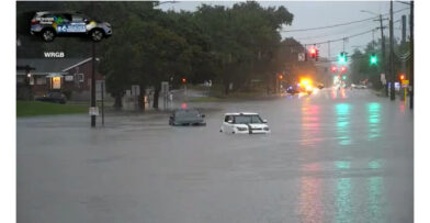

Santo Domingo. – According to the Dominican Institute of Meteorology (INDOMET), this Wednesday, passing showers are expected towards María Trinidad Sánchez, Samaná, Hato Mayor, El Seibo, La Altagracia, while for the rest of the country it will be sunny with scattered clouds.
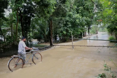
In the afternoon, the southeast wind will bring humidity that, when combined with the local effects of daytime heating and the approach of a tropical wave, will cause cloudiness with locally moderate showers, thunderstorms, and wind gusts in towns of Monte Plata, Hato Mayor, La Vega, the southern part of Santiago, San Juan, Dajabón, and Elías Piña until the early hours of the night.
Cyclonic activity in the Atlantic basin, Caribbean Sea and Gulf of Mexico or America:

Tropical Storm Fernand is located about 955 km east/northeast of Bermuda. With maximum sustained winds it has increased to about 65 km/h and is moving northeast at about 19 km/h. This system, due to its position and movement, does not pose a threat to the Dominican Republic.
Regarding maritime conditions, for the Atlantic coast, from Cabo Engaño (La Altagracia) to Cabo Cabrón (Samaná) and the Caribbean coast, from Paraíso (Barahona) to Isla Beata, operators of fragile, small and medium-sized vessels are recommended to remain in port due to wind and abnormal waves, while on the rest of both coasts, navigate with caution, near the coastal perimeter and without venturing out to sea.