SANTO DOMINGO. – The Dominican Institute of Meteorology (
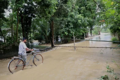
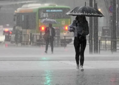
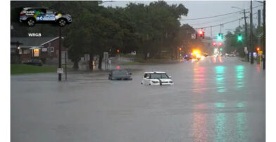
Indomet) reported that a trough in the upper levels of the troposphere, combined with the drag of the east wind, continues to generate local showers, thunderstorms and wind gusts over several provinces of the country since the early hours of this Wednesday.
Since the early hours of the morning, cloudiness with rain has been recorded in La Altagracia, Hato Mayor, Samaná and nearby areas. These precipitations will intensify during the afternoon and early hours of the night, especially affecting towns such as Monte Plata, Sánchez Ramírez, María Trinidad Sánchez, Monseñor Nouel, La Vega, Santiago, Santiago Rodríguez and Dajabón.
Read more
In addition, the sky will maintain an opaque appearance over a large part of the national territory due to the slight presence of Saharan dust particles.
For this Thursday, the approach of a tropical wave with increased activity over the Caribbean Sea is expected, which, added to the diurnal cycle, will increase the rains with thunderstorms and wind gusts in provinces such as San Pedro de Macorís, Santo Domingo, San Cristóbal, Monseñor Nouel, La Vega, Peravia, Barahona, Azua, Pedernales and San Juan.
Regarding external systems, Indomet monitors an area of showers and thunderstorms associated with a low pressure in the north-central Gulf of Mexico, linked to a frontal boundary on the southeastern coast of the United States. This phenomenon presents only a 10% probability of development in the next 48 hours and does not pose a threat to the Dominican Republic.
Heat and recommendations
Summer maintains its mark with high temperatures, Saharan dust and east/southeast wind, which accentuates the thermal sensation. The Indomet reiterates the need to:
• Drink enough fluids
• Wear light-colored clothing
• Avoid direct sun exposure between 11:00 a.m. and 5:00 p.m.
• Seek cool and ventilated places
• Take special care of children and the elderly
Forecast by areas
National District and Santo Domingo (North, East, and West):
Increased cloudiness with local showers and possible thunderstorms.
Temperatures:
Minimums between 21 °C and 23 °C; maximums between 33 °C and 35 °C.
Perspective for Friday
Although the tropical wave will have left the forecast area, residual humidity will remain, which, combined with the day’s heating and the wind, will continue to cause local showers and possible thunderstorms in provinces such as Santo Domingo, Monte Plata, Monseñor Nouel, San José de Ocoa and La Vega. Saharan dust will continue to be present in the country.
National District and Santo Domingo: Cloudy with scattered showers and occasional thunderstorms.