
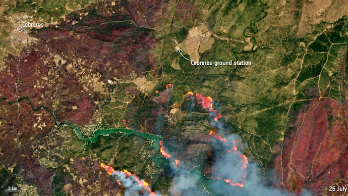

NASA has released a satellite image showing the massive burn scar left by a devastating wildfire near Burgohondo, in Spain’s Ávila province, highlighting the scale of one of the country’s largest wildfires in recent years.
The image, captured by the Landsat 9 Earth observation satellite on July 29, reveals the extensive area consumed by the flames. According to NASA, the initial wildfire burned approximately 50,000 hectares before merging with other active fires, expanding the total scorched area to about 77,000 hectares, nearly the size of New York City.
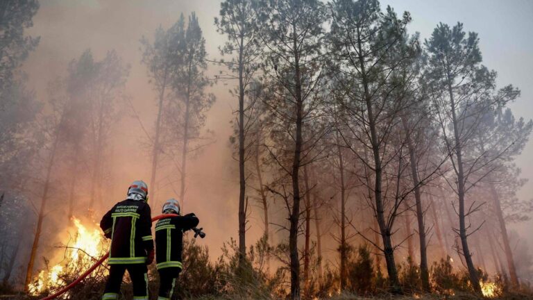
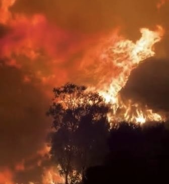
The wildfire destroyed homes, damaged infrastructure and severely affected areas surrounding two reservoirs. Emergency crews spent days battling the fast-moving blaze as authorities worked to contain the fire and protect nearby communities.

The satellite imagery underscores the widespread environmental impact of the wildfire, which left a vast blackened landscape visible from space.