Santo Domingo.- The Dominican Institute of Meteorology (INDOMET) ruled out this Wednesday that Tropical Storm Cristobal poses a danger to the Dominican Republic, while maintaining surveillance on two areas of the Atlantic with the potential for cyclonic development over the coming days.
INDOMET forecaster, Juan de la Rosa, explained that Cristobal is located very far from Dominican territory, in the North Atlantic and distant from the mainland, so its current conditions do not pose a threat to the country.
“Tropical Storm Cristobal does not pose a danger to the country. It is well away to the north in the Atlantic and well away from the mainland,” stated De la Rosa.
The meteorologist added that, in addition to its distance, forecasts indicate that the system will continue to weaken until it loses its tropical storm characteristics.
“It is forecast to deteriorate in the coming days and will no longer be a storm. So it should not worry us,” he maintained.
More Read

We recommend reading:
However, although Cristóbal does not represent a threat to the Dominican Republic, INDOMET maintains surveillance over two areas of the Atlantic that could evolve into cyclonic systems.
The first one is located between Africa and the Lesser Antilles and has an 80% probability of development, while the second is located south-southwest of the Cape Verde Islands and registers a 50% chance of development over the next seven days.
More Read

“We must keep an eye on that area associated with a tropical wave,” warned De la Rosa when referring to the first disturbance.

Regarding the second area under surveillance, he indicated that it also requires monitoring due to its potential for organization.
“It must be monitored because they could form like tropical cyclones and would be affecting, in that case, our islands,” he pointed out.
Trough and tropical wave will cause rains
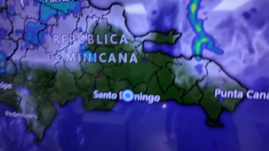
Regarding the weather conditions for this Thursday, the forecaster reported that a trough, combined with a tropical wave, will increase rainfall mainly over the interior of the country.
The rains will be concentrated especially in the northwest, north, and Cibao regions, including Montecristi, Dajabón, Santiago Rodríguez, and Santiago, as well as sectors of the southwest, the border area, and the Central Mountain Range.
More Read

Showers could also be recorded in parts of the Caribbean coast during the early morning hours.
“For tomorrow, we will have the incidence of a trough in combination with a tropical wave that will be increasing rainfall,” he explained.
Despite the increase in rainfall, temperatures will remain hot, so INDOMET recommended that the population stay hydrated, remain in ventilated places, and avoid performing physical exercise or exertion during the hottest hours of the day.
The agency urged citizens to remain attentive to upcoming updates from the National Forecast Center regarding the evolution of the two zones under surveillance.