

Santo Domingo.- The Dominican Institute of Meteorology (Indomet) reported that a trough and a tropical wave will be affecting the national territory over the next few hours, generating moderate to heavy rains, accompanied by thunderstorms and wind gusts in several provinces of the country.
The entity explained that, although temperatures have remained quite hot during this Friday, atmospheric conditions will begin to change during the early hours of Saturday.
“Today we have had quite hot temperatures. These temperatures will continue into the night hours and also into the early morning. However, towards the Caribbean sector, a trough and a tropical wave are expected to interact during the early morning and tomorrow, generating precipitation”.
According to the agency, the rains will be concentrated mainly in the provinces located on the Caribbean coast, from La Romana to Pedernales, where downpours accompanied by electrical activity and wind gusts could be recorded.

We recommend reading:
“We will wake up from La Romana to Pedernales with rains that may be accompanied by thunderstorms and wind gusts. People living in the provinces belonging to the Caribbean coastal littoral should be attentive,” he added.
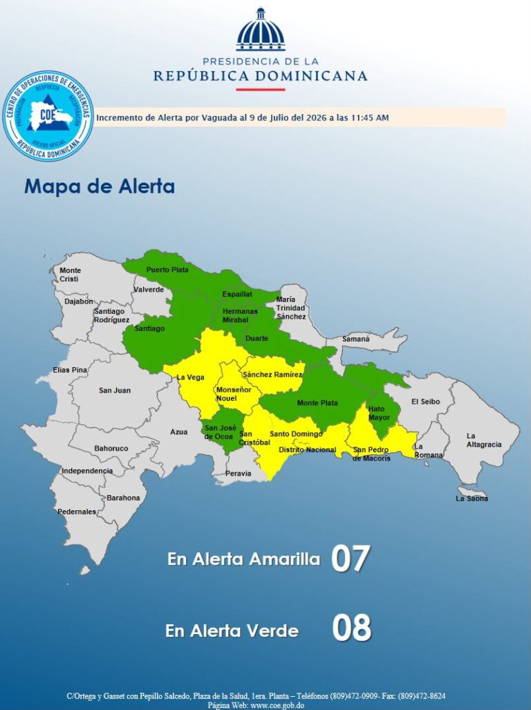
Indomet also reported that it maintains meteorological warnings and alerts for 11 provinces due to the risk of flooding in rivers, streams, and creeks, as well as urban and rural flooding.
“The Dominican Institute of Meteorology has issued a meteorological warning and alert for about 11 provinces, four under warning and seven under alert. Greater Santo Domingo is currently under a warning due to possible flooding of rivers, streams, and creeks, as well as urban flooding,” it specified.
The authorities urged the population to remain attentive to weather bulletins and the guidance of civil protection agencies, as conditions could continue to deteriorate over the weekend.