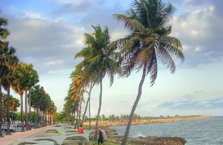

Scattered showers for this Thursday, according to Indomet


7:01 am
You can also read: U.S. attacks a new ‘narco-boat’ in the Pacific
The swell is abnormal on the Atlantic coast, specifically in the coastal sector from Cabo San Rafael (La Altagracia) to Miches (El Seibo). Therefore, we recommend that operators of small, fragile, and medium-sized vessels remain in port and navigate with caution in the rest of the coastal area. The temperatures will be cool at night and early morning, mainly in mountainous areas and inland valleys of the country, where occasional fogs and mists could occur. National District: scattered clouds. Santo Domingo Norte: scattered clouds. Santo Domingo Este: scattered clouds. Santo Domingo Oeste: scattered clouds. Minimum temperatures between 20 °C and 22 °C and the maximum between 30 °C and 32 °C. Summary: Rainfall will continue to be quite scarce over the country in the coming days due to the high-pressure system over the area. Temperatures will remain pleasant, mainly at night and early morning. Abnormal waves on the north coast of the nation.On Saturday, a high-pressure system located over the North Atlantic waters will limit the occurrence of significant rainfall accumulations. Only the east/northeast wind and a weak trough will cause some showers in towns of La Altagracia, Hato Mayor, Samaná, María Trinidad Sánchez, Monte Plata, Duarte, Sánchez Ramírez and Monseñor Nouel during the morning hours. In the afternoon, these precipitations could extend towards La Vega, San José de Ocoa, San Cristóbal, Azua, San Juan, Santiago, Puerto Plata and other nearby areas.

We are a multiplatform outlet offering news and television content. The fastest-growing news outlet in audience in the history of Caribbean communication.



#Most read
- 1.Magnitude 8.0 earthquake reported off Panama’s Pacific coast
- 2.VIDEO: Earthquake reportedly causes damage inside building in Panama
- 3.VIDEO: Father throws chair at judge after driver gets 120 hours of community service for killing his daughter
- 4.VIDEO: Guatemalan teenager wakes up inside her coffin after being presumed dead
- 5.Biography of Juan Ramón Gómez Díaz: The Media Mogul in the Dominican Republic
- 6.5D Cinema in Japan surprises the world with an immersive experience that goes viral
- 7.British man found dead and naked in Italy had attended pagan gathering involving drugs
- 8.Dominican woman sentenced to 25 years for killing fellow Dominican friend in Orlando
- 9.Pamela Infante clarifies situation with Wander Franco
- 10.NYPD searches for Dominican man wanted in death of young woman who fell from 15th floor

Newsletter
Subscribe to our newsletter to receive our latest articles instantly!