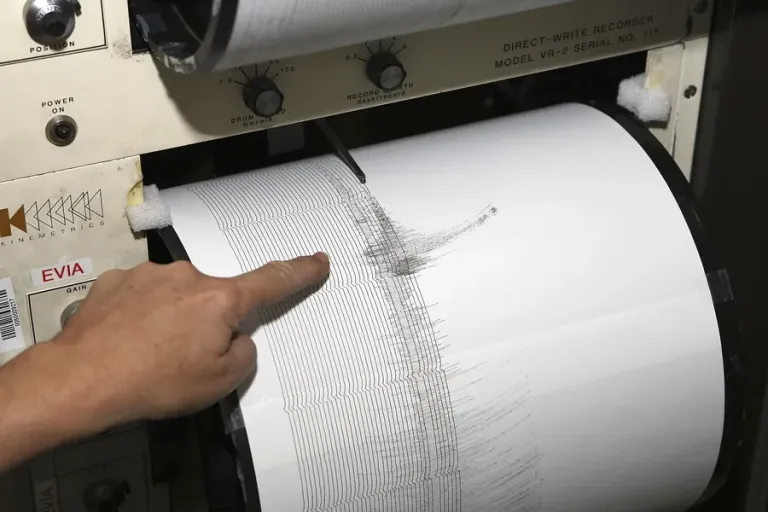

A 4.8 magnitude earthquake is felt in Lima, with no damage reported

9:22 pm
A 4.8 magnitude earthquake was felt at 19:35 hours this Friday (00:35 GMT Saturday) in Lima, with no personal or material damage reported so far, according to Peruvian official sources.
The epicenter of the earthquake was located 52 kilometers southwest of the coastal city of Supe Puerto, in the province of Barranca, in northern Lima, the Geophysical Institute of Peru (IGP) indicated.
The depth of the tremor was established at 29 kilometers, in the Pacific Ocean, and reached an intensity of III in Supe Puerto, about 180 kilometers from Metropolitan Lima.
You can also read: A man sentenced to more than 29 years in prison for raping his ex-partner in Ecuador

We are a multiplatform outlet offering news and television content. The fastest-growing news outlet in audience in the history of Caribbean communication.



#Most read
- 1.Magnitude 8.0 earthquake reported off Panama’s Pacific coast
- 2.VIDEO: Earthquake reportedly causes damage inside building in Panama
- 3.VIDEO: Father throws chair at judge after driver gets 120 hours of community service for killing his daughter
- 4.Dominican woman sentenced to 25 years for killing fellow Dominican friend in Orlando
- 5.Biography of Juan Ramón Gómez Díaz: The Media Mogul in the Dominican Republic
- 6.British man found dead and naked in Italy had attended pagan gathering involving drugs
- 7.Dominican man shot by ICE agents in New York identified as Oscar Belgal
- 8.Pamela Infante clarifies situation with Wander Franco
- 9.NYPD searches for Dominican man wanted in death of young woman who fell from 15th floor
- 10.He shot her, mutilated her and put her body through a meat grinder: boyfriend kills businesswoman and her daughter in Russia

Newsletter
Subscribe to our newsletter to receive our latest articles instantly!