Meanwhile, in the rest of the country, the weather will remain mostly dry, with clear skies and little chance of rain. This is due to a high-pressure system and the Sahara dust particles that continue to arrive in the Caribbean.
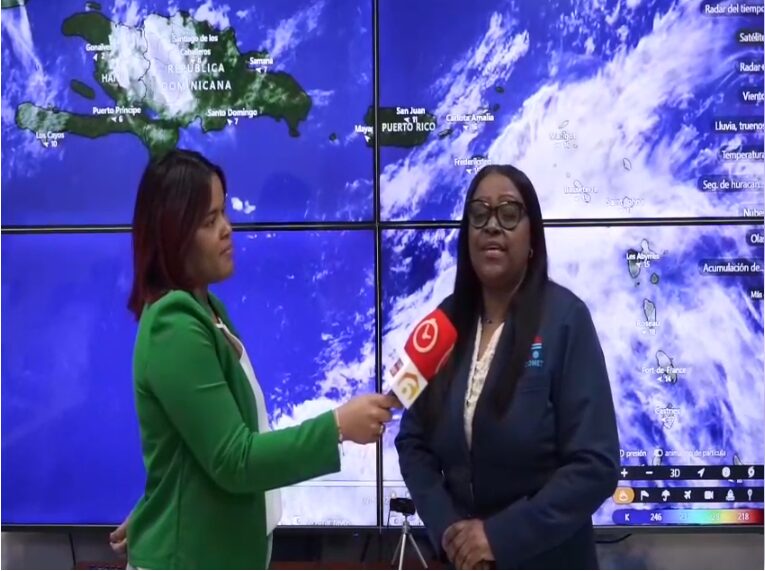
According to meteorologist Damaris Mercedes, the heat will continue to be intense, with a higher-than-normal heat index.“It is recommended to drink plenty of water, wear light-colored clothing, and seek cool or well-ventilated places,” details Mercedes.

In the same order, tomorrow, Sunday, June 1st, officially kicks off the hurricane season in the North Atlantic, the Gulf of Mexico, and the Caribbean, which extends until November 30th.
“This year, a more active season than normal is expected, with between 13 and 17 tropical storms. Of those, between 6 and 10 could become hurricanes, and between 3 and 5 could be of great intensity (category 3, 4 or 5),” revealed Mercedes.