
Trough causes rain in several provinces; Indomet warns about heat and Saharan dust

6:43 pm
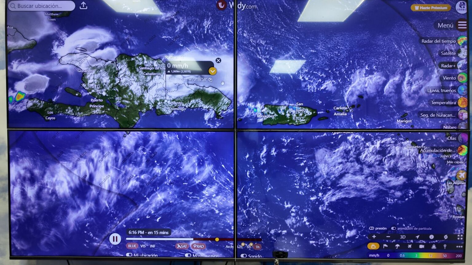
Santo Domingo.- The Dominican Republic Meteorology Institute (Indomet) reported that the meteorological environment of this Wednesday continues to be influenced by an upper-level trough, which, combined with the effects of daytime heating and the drag of humidity from the east and southeast wind, has generated moderate showers, thunderstorms and wind gusts during the afternoon.
The rainfall has particularly affected the provinces of Monte Plata, Sánchez Ramírez, La Vega, Santiago, Santiago Rodríguez, Dajabón, among other inland areas.You may be interested in: Showers and thunderstorms for today
However, the entity indicates that these conditions will gradually decrease during the night. Even so, scattered and insignificant showers are not ruled out over sectors of La Altagracia, La Romana, San Pedro de Macorís, Gran Santo Domingo, Monte Plata, San Cristóbal and isolated areas of the north. Indomet indicated that for this Thursday the approach of a tropical wave is expected, whose greatest cloud activity will remain in the waters of the Caribbean Sea, although it will continue to generate some isolated showers with thunderstorms from the first hours of the day, especially over the northeast, southeast, Central Mountain Range and southwest regions. In addition, high temperatures will be maintained due to the incidence of warm east/southeast winds and the presence of Saharan dust, so the population is advised to stay hydrated, wear light clothing, and avoid direct sun exposure for prolonged periods, especially between 11:00 a.m. and 4:00 p.m. Maritime conditions The agency also warned small and medium-sized vessels, mainly on the southwestern Caribbean coast, to remain in port due to offshore restrictions. On the Atlantic coast, from Samaná to La Altagracia, precautionary measures are also maintained due to abnormal waves.
We are a multiplatform outlet offering news and television content. The fastest-growing news outlet in audience in the history of Caribbean communication.


#Most read
- 1.Magnitude 8.0 earthquake reported off Panama’s Pacific coast
- 2.VIDEO: Earthquake reportedly causes damage inside building in Panama
- 3.VIDEO: Father throws chair at judge after driver gets 120 hours of community service for killing his daughter
- 4.Dominican woman sentenced to 25 years for killing fellow Dominican friend in Orlando
- 5.Biography of Juan Ramón Gómez Díaz: The Media Mogul in the Dominican Republic
- 6.British man found dead and naked in Italy had attended pagan gathering involving drugs
- 7.Dominican man shot by ICE agents in New York identified as Oscar Belgal
- 8.Pamela Infante clarifies situation with Wander Franco
- 9.NYPD searches for Dominican man wanted in death of young woman who fell from 15th floor
- 10.He shot her, mutilated her and put her body through a meat grinder: boyfriend kills businesswoman and her daughter in Russia

Newsletter
Subscribe to our newsletter to receive our latest articles instantly!