SANTO DOMINGO, RD. – The
Dominican Institute of Meteorology (INDOMET) reported this Sunday that the cloud bands of hurricane
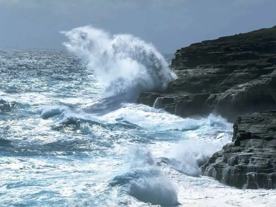
Erin are producing showers, thunderstorms and wind gusts in several provinces of the country, in addition to dangerous waves with rip currents, groundswell and waves that exceed 10 feet in height.
The powerful hurricane
Erin, currently category 3 on the Saffir-Simpson scale, is located about 245 kilometers north of
San Juan, Puerto Rico and about 290 kilometers northeast of Punta Cana, moving west/northwest at a speed of 22 km/h, with maximum sustained winds of 205 km/h.
You may be interested in: http://Grave acumulación de sargazo afecta Playa Rincón y golpea la economía turística de Las Galeras
INDOMET highlighted that, although the center of the phenomenon will not directly impact Dominican territory, the associated cloud bands already generate significant effects in provinces of the north and east coast, such as La Altagracia, La Romana, San Pedro de Macorís, El Seibo, Hato Mayor, Samaná, María Trinidad Sánchez, Duarte, Espaillat, Puerto Plata and Montecristi. These conditions will extend during the next few hours towards Santo Domingo, Monte Plata, Santiago, La Vega and Monseñor Nouel.
Regarding cyclonic activity in the Atlantic basin, Caribbean Sea, and Gulf of Mexico, the agency indicated that:
- A broad area of showers near North Carolina has a low probability of development (10% in 48 hours and in 7 days), not posing a threat to the country.
- Another low pressure in the tropical Atlantic has a 0% chance of formation in 48 hours and 20% in the next 7 days.
The INDOMET maintains
weather alerts due to the indirect effects of hurricane
Erin in the following provinces:
La Altagracia, El Seibo, Hato Mayor, Samaná, María Trinidad Sánchez, Espaillat, Puerto Plata and Montecristi.
The institution urged the population, especially residents in coastal areas, to remain attentive to official bulletins due to the risk of urban flooding, sudden rises in rivers and streams, as well as dangerous waves on the north and east coasts of the country.