Periodista, diplomático y productor audiovisual. Director y co-creador de De Último Minuto.
Share
5 Min Read
SHARE
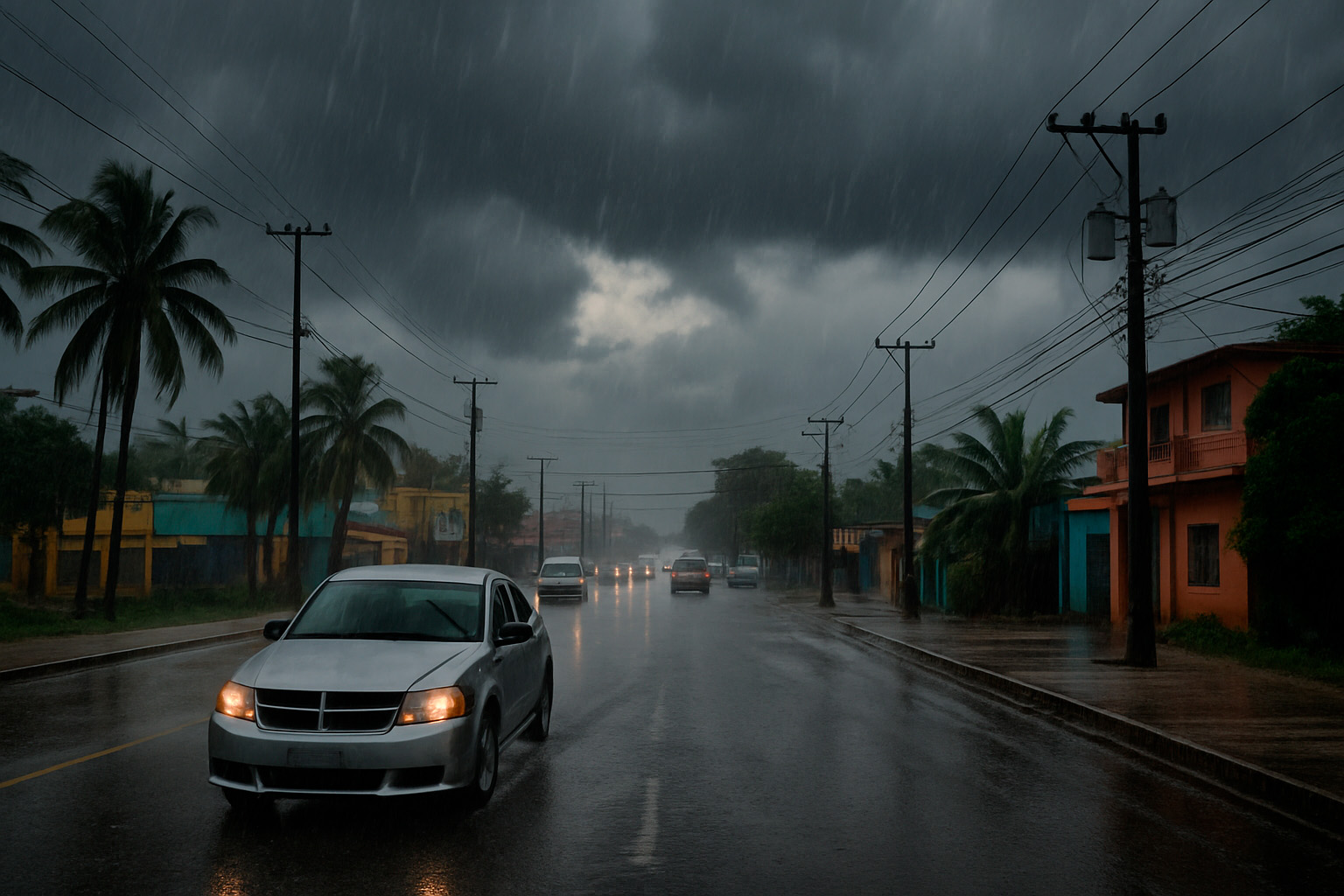
SANTO DOMINGO. – The weather conditions in the Dominican Republic will be marked by a tropical wave combined with a trough, which will generate local showers, isolated thunderstorms and wind gusts in several provinces of the Dominican territory during the next 24 hours, according to the forecast issued this Friday, July 4, 2025 at 6:00 p.m., valid until Sunday 6 at the same time.
During the afternoon today, moderate showers accompanied by thunderstorms and wind have been recorded in sectors of El Seibo, Hato Mayor, La Vega, San José de Ocoa, Santiago, Santiago Rodríguez, Dajabón, Elías Piña, Valverde and Montecristi. These rains will tend to decrease during the night, giving way to a drier panorama in a large part of the country, with a sky of grayish appearance and scarce cloudiness, product of the permanence of Saharan dust.
Conditions for Saturday with possible tropical wave
In the early hours of Saturday morning, the instability associated with the trough, along with the advance of a tropical wave from the south of the country, will favor the appearance of cloudiness, passing showers and thunderstorms in locations such as San Cristóbal, Santo Domingo, San Pedro de Macorís, Monte Plata, Hato Mayor and La Altagracia. These conditions will persist during the morning.
Already on Saturday afternoon, the downpours will be more noticeable in Sánchez Ramírez, Monseñor Nouel, La Vega, San Juan, Santiago Rodríguez, Dajabón and nearby areas, where thunderstorms and local wind gusts are expected.
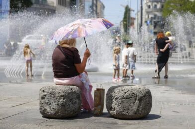
The heat will not let up
The temperatures will remain hot with a high thermal sensation. It is recommended to drink plenty of water, wear light clothing, and stay in ventilated places, especially for children and the elderly, who are more vulnerable to the effects of heat.
For the metropolitan area, including the National District and the municipalities of Santo Domingo North, East and West, a grayish sky is forecast, with scattered clouds and showers at dawn.
Minimum temperatures: between 21 °C and 23 °C
Maximum temperatures: between 33 °C and 35 °C
Tropical wave in the western Atlantic
During the afternoon of this Friday, Tropical Depression No. 3 formed, located 240 kilometers south/southeast of South Carolina, United States. The system is moving slowly north at 4 km/h and is expected to strengthen into a tropical storm this Saturday. For the moment, it does not pose a threat to the Dominican Republic.
Forecast for Sunday
On Sunday, the tropical wave will have left the forecast area, but its lingering humidity, along with the trough and local effects, will continue to cause scattered showers, thunderstorms, and wind gusts in sectors of La Altagracia, El Seibo, Santo Domingo, Monte Plata, Monseñor Nouel, La Vega, Santiago, San Juan, and Azua, mostly in the afternoon.
Forecast by provinces
Provincia
Condiciones del tiempo
Máx. °C
Mín. °C
Santiago
Parcialmente nublado con aguaceros y tronadas. Caluroso.
32-34
20-22
Puerto Plata
Medio nublado al sur con chubascos y tronadas. Caluroso.
32-34
21-23
Duarte
Medio nublado con chubascos y tronadas. Caluroso.
30-32
20-22
Constanza
Parcialmente nublado con aguaceros y ráfagas. Caluroso.
26-28
11-13
Peravia
Cielo grisáceo, sin lluvias. Caluroso.
31-33
22-24
San Pedro de Macorís
Grisáceo, chubascos en la madrugada.
31-33
22-24
La Romana
Grisáceo, chubascos en la madrugada.
30-32
21-23
La Vega
Aumentos nubosos, aguaceros y tronadas.
31-33
20-22
Monseñor Nouel
Aumentos nubosos, aguaceros y tronadas.
29-31
20-22
San Cristóbal
Grisáceo, chubascos en la madrugada.
30-32
21-23
Samaná
Grisáceo con poca nubosidad. Caluroso.
30-32
21-23
Monte Cristi
Medio nublado con aguaceros y tronadas. Caluroso.
32-34
23-25
Azua
Medio nublado con aguaceros y tronadas. Caluroso.
32-34
21-23
San Juan
Nubes dispersas a nublado con aguaceros y tronadas.