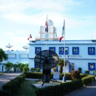
SANTO DOMINGO. – This Thursday, July 3, 2025, the weather in the Dominican Republic will be influenced by the effects of the east/southeast wind, a trough in the middle levels of the atmosphere and daytime heating, after the tropical wave has left the country’s forecast area.
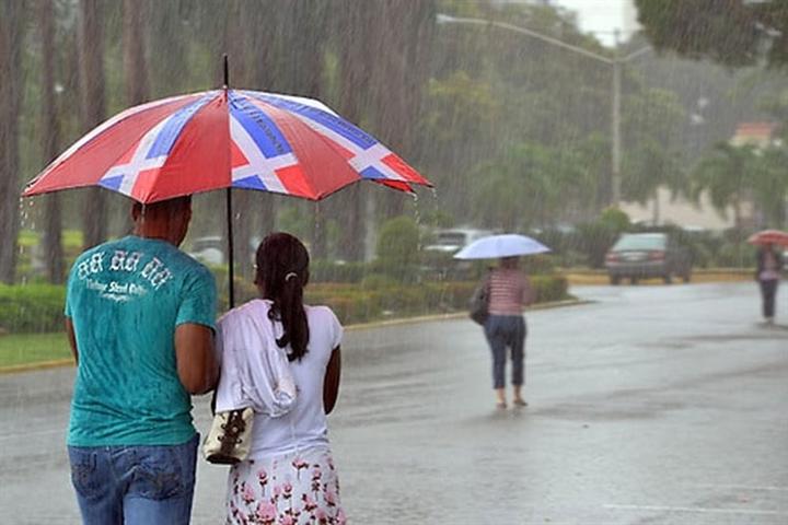
According to the report from the Dominican Institute of Meteorology (Indomet), these conditions will favor the development of cloudiness with isolated showers and possible thunderstorms, especially in the afternoon. The rainfall will be concentrated in provinces of the northeast, northwest, and the Central mountain range, including Hato Mayor, Monte Plata, Samaná, Duarte, Santiago Rodríguez, and Dajabón.
The environment will continue to be hot, with maximum temperatures between 33 °C and 35 °C, and minimums between 21 °C and 23 °C. A high thermal sensation is expected, so the population is advised to hydrate adequately, wear light-colored clothing and avoid prolonged exposure to the sun, especially in the case of children and the elderly.
Regarding external phenomena, a low-pressure area located in the Florida Peninsula and the southeastern coast of the United States maintains a low probability of cyclonic development: 0% in the next 48 hours and 40% in seven days. For the moment, this system does not pose a threat to the Dominican Republic.
Local conditions by demarcation:
National District: possible passing showers with occasional wind gusts.
Santo Domingo North: partly cloudy with isolated wind gusts.
Santo Domingo East: possibility of scattered showers and wind gusts.
Santo Domingo West: cloudy intervals with sporadic showers and moderate gusts.
Indomet urges citizens to stay informed through official bulletins and to follow the guidelines of civil protection agencies in the event of any weather event.
Currently 24° · Mostly cloudy
Santo Domingo Este, Dominican Republic






 8 a.m.
 11 a.m.
 8 p.m.
 9 p.m.
 11 p.m.