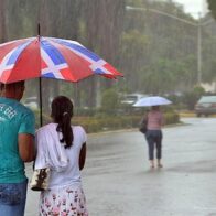

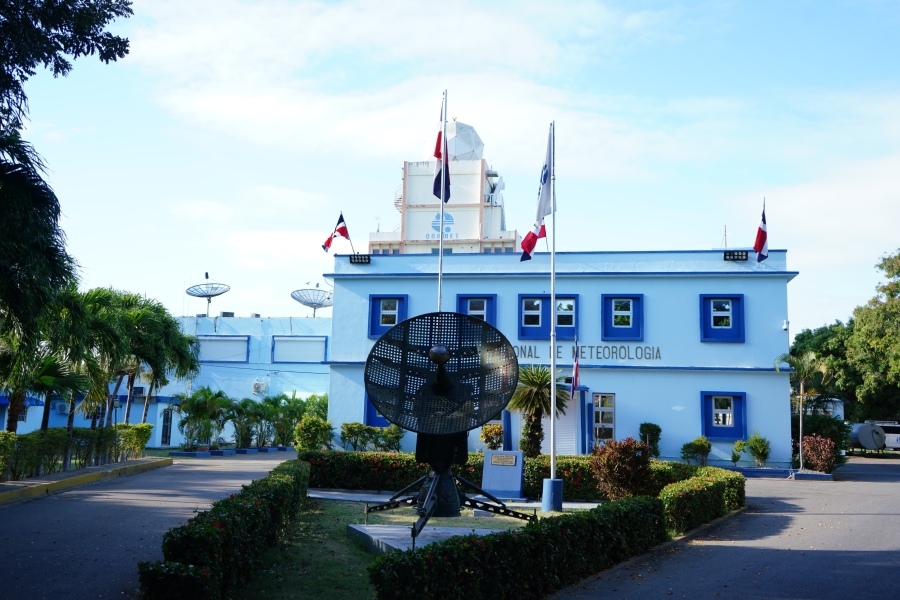
Santo Domingo. – The Dominican Institute of Meteorology (Indomet) reported that atmospheric conditions will remain mostly stable during the morning hours of this Thursday, with only some showers isolated and passing over locations in the east and northeast of the country such as La Altagracia, El Seibo, Hato Mayor, María Trinidad Sánchez and Monte Plata.
However, in the afternoon and until the early evening, a trough at several levels of the troposphere, combined with the warm east/southeast wind and diurnal and orographic heating, will cause cloud developments that will generate local showers or downpours with scattered thunderstorms. These precipitations will affect both the provinces already mentioned and sectors of the northwest and the Central mountain range, including Monseñor Nouel, La Vega, Santiago Rodríguez and Dajabón, among other nearby areas.
Read more: Indomet: Hot day with scattered showers this Saturday

For this Friday morning, the country will experience mostly clear and sunny skies, but in the afternoon an increase in cloudiness is expected due to the approach of a new tropical wave, which together with a trough at high levels, will cause isolated showers and thunderstorms over points in the northeast, the Central mountain range and the border area.
Forecast by location:
• Distrito Nacional: Slight cloud increases in the early morning hours. Then, partly cloudy sky and warm environment.
• Santo Domingo Norte: Isolated showers in the morning, then clear and hot.
• Santo Domingo Este: Few clouds, sunny and hot.
• Santo Domingo Oeste: Mostly clear, with sun and heat.
More Read

Temperatures:
The temperatures will continue to be high. Minimums between 21 °C and 23 °C are expected, while the maximums will range between 33 °C and 35 °C.