SANTO DOMINGO, RD. – Hurricane
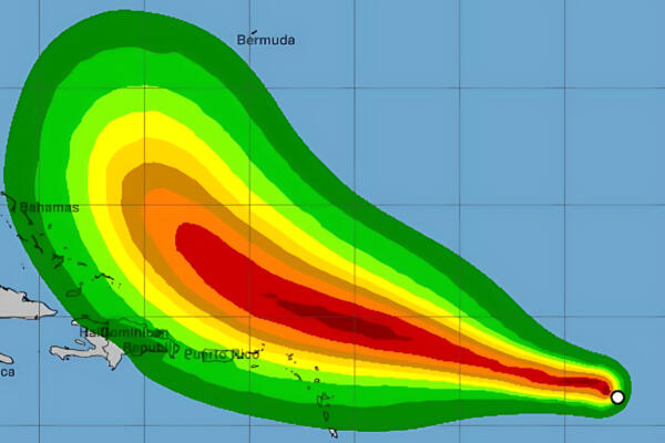
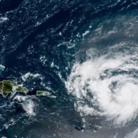
Erin continues moving through Atlantic waters heading west-northwest at a speed of 22 km/h, being located on the morning of this Sunday about
280 kilometers northeast of Punta Cana, according to meteorological reports.
During the early hours of the morning, cloudy fragments and isolated wind gusts were recorded in the country as indirect effects of the phenomenon, according to meteorologist
Jean Suriel.
You may be interested in: http://INDOMET maintains weather warnings despite Hurricane Erin moving away
The interaction of the cyclone’s outer bands with the mountainous area of the Dominican Republic, added to the cooling of the Atlantic waters during the night and early morning, caused Erin to descend to
category 3, with maximum sustained winds of
205 km/h.
However, authorities warn that, with daytime warming, the system could
re-intensify in the coming hours.
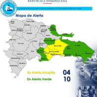
The National Forecast Center of the Dominican Republic’s Institute of Meteorology (INDOMET) maintains preventive warnings for dangerous waves, scattered showers, and wind gusts associated with the outer bands of the hurricane, recommending that the population and boat operators comply with official provisions.