SANTO DOMINGO. – The weather this Wednesday, July 2, 2025, will be influenced by the approach of a tropical wave which, according to the Dominican Institute of Meteorology (Indomet), will impact the national territory from noon onwards, generating atmospheric instability conditions.
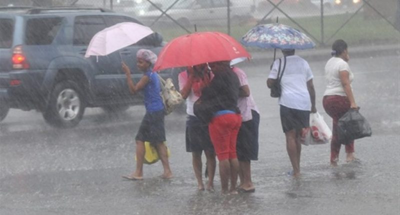
An increase in cloudiness is expected, moderate showers and isolated thunderstorms over locations in the northeast, north and the Cibao region. Among the provinces most prone to these precipitations are Hato Mayor, El Seibo, Monte Plata, Sánchez Ramírez, La Vega, Monseñor Nouel, Santiago, Santiago Rodríguez, Valverde and Dajabón.
During nighttime hours, a significant reduction in rainfall is anticipated, with a predominantly clear sky with scattered clouds. However, isolated showers could occur in areas near the northeast coast.
The temperatures will continue to be hot, with maximum values between 33 °C and 35 °C, and minimums between 21 °C and 23 °C, reinforced by the incidence of Saharan dust that provides a higher thermal sensation. Indomet recommends staying hydrated, avoiding prolonged exposure to the sun, wearing light-colored clothing and paying special attention to children and the elderly, who are more vulnerable to the heat.
Regarding external atmospheric systems, a low-pressure zone located near the Gulf of Mexico presents a low probability of cyclonic development in the next 48 hours. Due to its location and trajectory, this phenomenon does not pose a threat to the Dominican Republic.
Conditions by demarcation:
- National District: partly cloudy sky with a grayish appearance, possible isolated showers.
- Santo Domingo North: scattered clouds increasing and possibility of passing showers.
- Santo Domingo East: opaque sky with variable cloudiness.
- Santo Domingo West: similar conditions with increased clouds and possible showers.
The Indomet urges the population to remain attentive to the upcoming official bulletins and follow the recommendations of civil protection agencies.